


Shimla, Dec 12
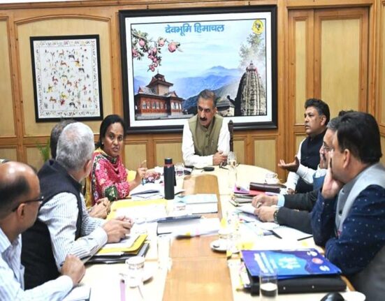
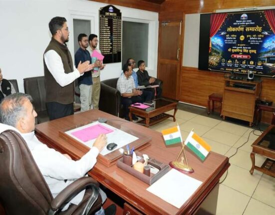
Additional Chief Secretary (Revenue) K.K. Pant released the Geodetic Assets Register and Geodetic Map of Himachal Pradesh on December 12, 2025. Presented by Gaurav Kumar Singh, Director of the Geospatial Directorate for Punjab, Haryana, Himachal Pradesh, and Chandigarh, these resources catalog the state’s geodetic infrastructure into six categories: Continuous Operating Reference Stations (CORS), Great Trigonometric Survey Stations, Ground Control Points, Magnetic Reference Stations, Gravity Reference Stations, and Leveling Benchmarks.
What is Geodetic Infrastructure?
Geodetics is the science of measuring and understanding Earth’s shape, orientation in space, and gravity field, providing a precise reference framework for mapping and surveying. CORS networks deliver real-time GPS corrections for centimeter-level accuracy, while Ground Control Points and benchmarks anchor maps to physical locations. These assets enable high-precision positioning essential for land management and monitoring changes like subsidence or earthquakes.
Benefits for Disaster Mitigation
In Himachal Pradesh’s disaster-prone terrain, the register and map offer detailed asset locations to support effective mitigation plans. Pant emphasized their role in eco-friendly infrastructure development, aligning with state priorities for sustainable planning and scientific research.
Tech Integration in Revenue Services
The Revenue Department leverages modern tools, uploading village and land maps to the Bhu-naksha portal for transparent services under Bhu-naksha and Swamitva projects. Special Secretary (Revenue) D.C. Rana and senior officers attended the event.




Leave feedback about this